
こども自然公園 topographic map
Interactive map
Click on the map to display elevation.
About this map
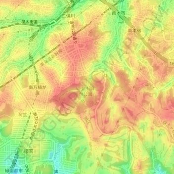
Name: こども自然公園 topographic map, elevation, terrain.
Location: こども自然公園, 大池町, 旭区, 横浜市, 神奈川県, 231-0017, 日本 (35.45126 139.53578 35.45136 139.53588)
Average elevation: 69 m
Minimum elevation: 30 m
Maximum elevation: 91 m
Other topographic maps
Click on a map to view its topography, its elevation and its terrain.