
権現山(横浜市金沢区柴町) topographic map
Interactive map
Click on the map to display elevation.
About this map
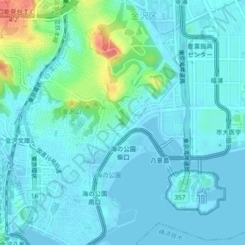
Name: 権現山(横浜市金沢区柴町) topographic map, elevation, terrain.
Location: 権現山(横浜市金沢区柴町), 横浜市, 神奈川県, 231-0017, 日本 (35.34392 139.63575 35.34402 139.63585)
Average elevation: 12 m
Minimum elevation: -1 m
Maximum elevation: 72 m
Other topographic maps
Click on a map to view its topography, its elevation and its terrain.