
青葉区 topographic map
Interactive map
Click on the map to display elevation.
About this map
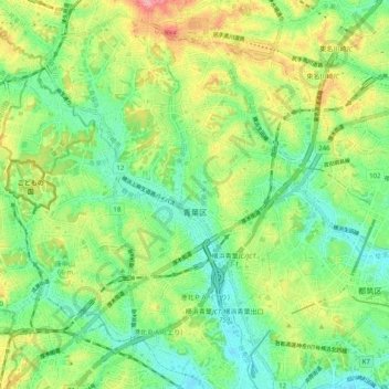
Name: 青葉区 topographic map, elevation, terrain.
Location: 青葉区, 横浜市, 神奈川県, 231-0017, 日本 (35.52762 139.46826 35.59285 139.56786)
Average elevation: 48 m
Minimum elevation: 6 m
Maximum elevation: 119 m
Other topographic maps
Click on a map to view its topography, its elevation and its terrain.