
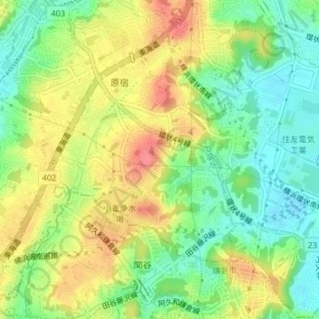
小雀町 topographic map
Interactive map
Click on the map to display elevation.
About this map
Name: 小雀町 topographic map, elevation, terrain.
Location: 小雀町, 戸塚区, 横浜市, 神奈川県, 231-0017, 日本 (35.36164 139.50244 35.37887 139.52233)
Average elevation: 39 m
Minimum elevation: 6 m
Maximum elevation: 78 m
Other topographic maps
Click on a map to view its topography, its elevation and its terrain.