
Thank you for supporting this site ❤️
Make a donation
Make a donation
Lequire topographic map
Click on the map to display elevation.
Thank you for supporting this site ❤️
Make a donation
Make a donation
About this map
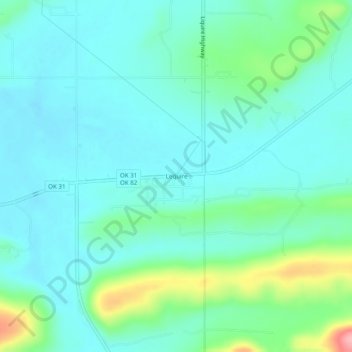
Name: Lequire topographic map, elevation, terrain.
Location: Lequire, Haskell County, Oklahoma, 74943, United States (35.08454 -95.12746 35.12454 -95.08746)
Average elevation: 185 m
Minimum elevation: 157 m
Maximum elevation: 290 m
Thank you for supporting this site ❤️
Make a donation
Make a donation
Other topographic maps
Click on a map to view its topography, its elevation and its terrain.