
Thank you for supporting this site ❤️
Make a donation
Make a donation
McCurtain topographic map
Click on the map to display elevation.
Thank you for supporting this site ❤️
Make a donation
Make a donation
About this map
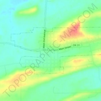
Name: McCurtain topographic map, elevation, terrain.
Location: McCurtain, Haskell County, Oklahoma, 74944, United States (35.14305 -94.98418 35.15607 -94.95002)
Average elevation: 179 m
Minimum elevation: 157 m
Maximum elevation: 221 m
Thank you for supporting this site ❤️
Make a donation
Make a donation
Other topographic maps
Click on a map to view its topography, its elevation and its terrain.