
Thank you for supporting this site ❤️
Make a donation
Make a donation
Kinta topographic map
Click on the map to display elevation.
Thank you for supporting this site ❤️
Make a donation
Make a donation
About this map
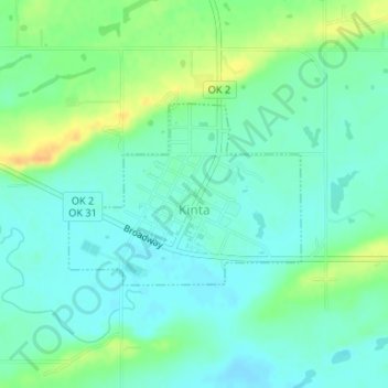
Name: Kinta topographic map, elevation, terrain.
Location: Kinta, Haskell County, Oklahoma, 74552, United States (35.11401 -95.24844 35.12665 -95.22865)
Average elevation: 172 m
Minimum elevation: 161 m
Maximum elevation: 194 m
Thank you for supporting this site ❤️
Make a donation
Make a donation
Other topographic maps
Click on a map to view its topography, its elevation and its terrain.