
Bahr el Gazel topographic map
Interactive map
Click on the map to display elevation.
About this map
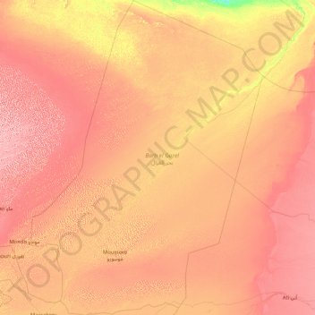
Name: Bahr el Gazel topographic map, elevation, terrain.
Location: Bahr el Gazel, Chad (13.02300 15.60200 16.24200 18.05100)
Average elevation: 298 m
Minimum elevation: 219 m
Maximum elevation: 389 m
Other topographic maps
Click on a map to view its topography, its elevation and its terrain.
Kabia
Chad > Mayo-Kebbi Est > Gounou Gaya
Kabia, Gounou Gaya, Mayo-Kebbi Est, Chad
Average elevation: 349 m
Békal
Chad > Logone Oriental > Bekori 2
Békal, Bekori 2, Logone Oriental, Chad
Average elevation: 442 m