
Kabia topographic map
Interactive map
Click on the map to display elevation.
About this map
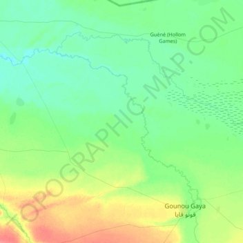
Name: Kabia topographic map, elevation, terrain.
Location: Kabia, Mayo-Kebbi Est, Chad (9.61939 15.16313 9.90487 15.52742)
Average elevation: 339 m
Minimum elevation: 325 m
Maximum elevation: 375 m
Other topographic maps
Click on a map to view its topography, its elevation and its terrain.
Kabia
Chad > Mayo-Kebbi Est > Gounou Gaya
Kabia, Gounou Gaya, Mayo-Kebbi Est, Chad
Average elevation: 349 m