
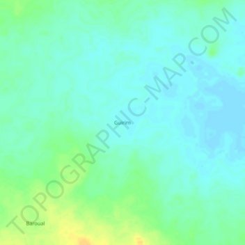
Guirim topographic map
Interactive map
Click on the map to display elevation.
About this map
Name: Guirim topographic map, elevation, terrain.
Location: Guirim, Guéra, Chad (11.33720 18.32680 11.37720 18.36680)
Average elevation: 501 m
Minimum elevation: 493 m
Maximum elevation: 517 m