
Békal topographic map
Interactive map
Click on the map to display elevation.
About this map
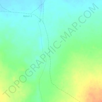
Name: Békal topographic map, elevation, terrain.
Location: Békal, Bekori 2, Logone Oriental, Chad (8.26410 15.72250 8.28410 15.74250)
Average elevation: 442 m
Minimum elevation: 425 m
Maximum elevation: 470 m