
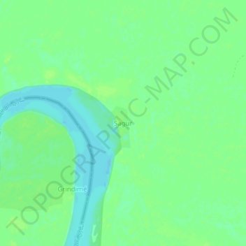
Sagur topographic map
Interactive map
Click on the map to display elevation.
About this map
Name: Sagur topographic map, elevation, terrain.
Location: Sagur, Hadjer-Lamis, Chad (12.44566 14.86441 12.48566 14.90441)
Average elevation: 290 m
Minimum elevation: 283 m
Maximum elevation: 295 m