
Darom topographic map
Interactive map
Click on the map to display elevation.
About this map
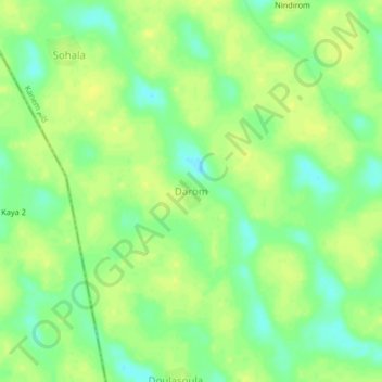
Name: Darom topographic map, elevation, terrain.
Location: Darom, Kanem, Chad (13.34039 15.54649 13.38039 15.58649)
Average elevation: 295 m
Minimum elevation: 283 m
Maximum elevation: 302 m
Other topographic maps
Click on a map to view its topography, its elevation and its terrain.