
El Ksour topographic map
Interactive map
Click on the map to display elevation.
About this map
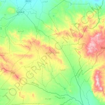
Name: El Ksour topographic map, elevation, terrain.
Location: El Ksour, Le Kef, Tunisie (35.68042 8.79755 35.97519 9.10253)
Average elevation: 822 m
Minimum elevation: 580 m
Maximum elevation: 1,309 m
Other topographic maps
Click on a map to view its topography, its elevation and its terrain.