
Menzel Salem topographic map
Interactive map
Click on the map to display elevation.
About this map
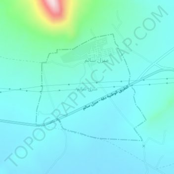
Name: Menzel Salem topographic map, elevation, terrain.
Location: Menzel Salem, Tajerouine, Le Kef, Tunisie (35.84331 8.46566 35.85986 8.48676)
Average elevation: 614 m
Minimum elevation: 554 m
Maximum elevation: 979 m
Other topographic maps
Click on a map to view its topography, its elevation and its terrain.