
Tajerouine topographic map
Interactive map
Click on the map to display elevation.
About this map
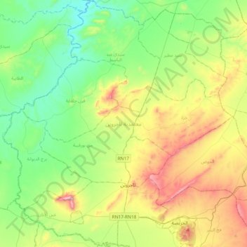
Name: Tajerouine topographic map, elevation, terrain.
Location: Tajerouine, Le Kef, Tunisie (35.81553 8.36516 36.11612 8.73736)
Average elevation: 568 m
Minimum elevation: 329 m
Maximum elevation: 1,069 m
Other topographic maps
Click on a map to view its topography, its elevation and its terrain.