
Paro District topographic map
Interactive map
Click on the map to display elevation.
About this map
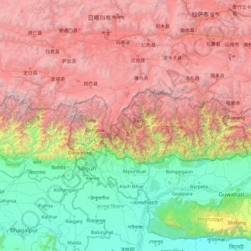
Name: Paro District topographic map, elevation, terrain.
Location: Paro District, Bhutan (24.86464 86.71834 30.06464 91.91834)
Average elevation: 2,636 m
Minimum elevation: 1 m
Maximum elevation: 8,625 m
Other topographic maps
Click on a map to view its topography, its elevation and its terrain.