
Kompa topographic map
Interactive map
Click on the map to display elevation.
About this map
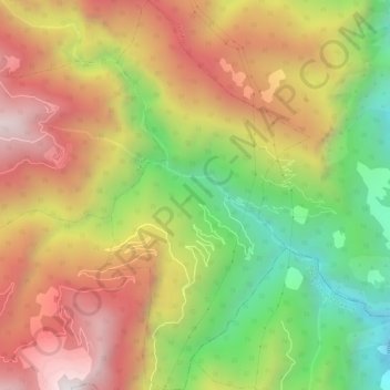
Name: Kompa topographic map, elevation, terrain.
Location: Kompa, Largyab Gewog, Dagana District, Bhutan (27.05573 90.02420 27.10723 90.05477)
Average elevation: 1,169 m
Minimum elevation: 348 m
Maximum elevation: 1,952 m