
Yangthang topographic map
Interactive map
Click on the map to display elevation.
About this map
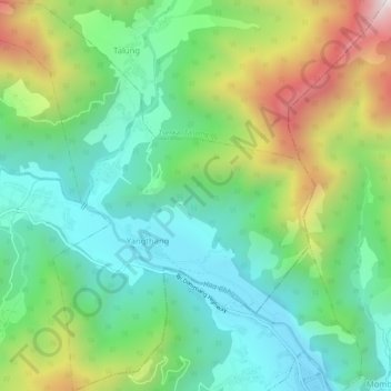
Name: Yangthang topographic map, elevation, terrain.
Location: Yangthang, Bji Gewog, Haa District, Bhutan (27.39227 89.22888 27.43829 89.27610)
Average elevation: 3,079 m
Minimum elevation: 2,718 m
Maximum elevation: 3,833 m