
Thank you for supporting this site ❤️
Make a donation
Make a donation
Putnam County topographic map
Click on the map to display elevation.
Thank you for supporting this site ❤️
Make a donation
Make a donation
About this map
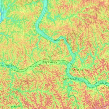
Name: Putnam County topographic map, elevation, terrain.
Location: Putnam County, West Virginia, United States (38.26972 -82.06427 38.68416 -81.69635)
Average elevation: 246 m
Minimum elevation: 160 m
Maximum elevation: 395 m
Thank you for supporting this site ❤️
Make a donation
Make a donation
Other topographic maps
Click on a map to view its topography, its elevation and its terrain.
Thank you for supporting this site ❤️
Make a donation
Make a donation
Thank you for supporting this site ❤️
Make a donation
Make a donation