
Thank you for supporting this site ❤️
Make a donation
Make a donation
McClain topographic map
Click on the map to display elevation.
Thank you for supporting this site ❤️
Make a donation
Make a donation
About this map
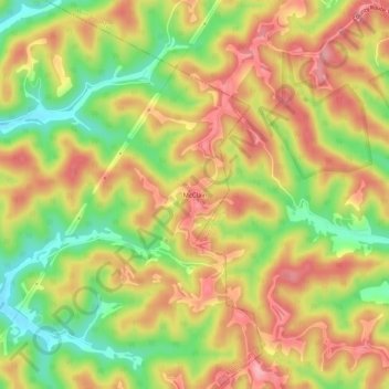
Name: McClain topographic map, elevation, terrain.
Location: McClain, Jackson County, West Virginia, United States (38.97480 -81.55651 39.01480 -81.51651)
Average elevation: 281 m
Minimum elevation: 202 m
Maximum elevation: 347 m
Thank you for supporting this site ❤️
Make a donation
Make a donation