
Thank you for supporting this site ❤️
Make a donation
Make a donation
Calvin topographic map
Click on the map to display elevation.
Thank you for supporting this site ❤️
Make a donation
Make a donation
About this map
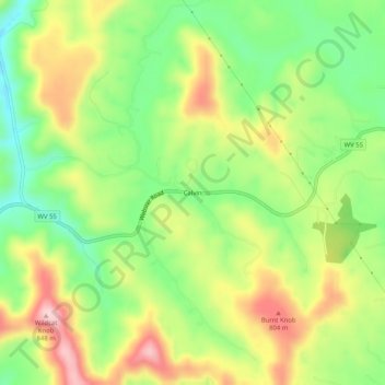
Name: Calvin topographic map, elevation, terrain.
Location: Calvin, Nicholas County, West Virginia, 26660, United States (38.31678 -80.73454 38.35678 -80.69454)
Average elevation: 708 m
Minimum elevation: 601 m
Maximum elevation: 840 m
Thank you for supporting this site ❤️
Make a donation
Make a donation