
Beeson topographic map
Click on the map to display elevation.
About this map
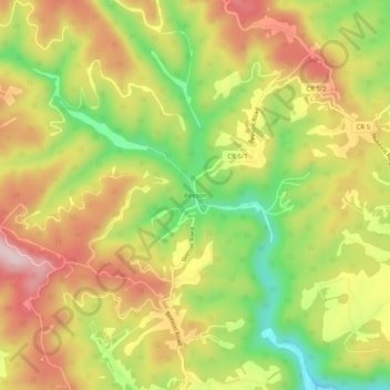
Name: Beeson topographic map, elevation, terrain.
Location: Beeson, Mercer County, West Virginia, 24714, United States (37.45095 -81.21399 37.49095 -81.17399)
Average elevation: 798 m
Minimum elevation: 647 m
Maximum elevation: 933 m