
Douar Hicher topographic map
Interactive map
Click on the map to display elevation.
About this map
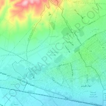
Name: Douar Hicher topographic map, elevation, terrain.
Location: Douar Hicher, La Manouba, Tunisie (36.81575 10.06013 36.85697 10.10491)
Average elevation: 78 m
Minimum elevation: 27 m
Maximum elevation: 224 m
Other topographic maps
Click on a map to view its topography, its elevation and its terrain.