
Zawr Rashid al Barazi topographic map
Interactive map
Click on the map to display elevation.
About this map
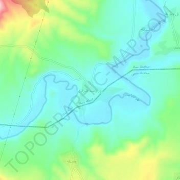
Name: Zawr Rashid al Barazi topographic map, elevation, terrain.
Location: Zawr Rashid al Barazi, ناحية حماة, منطقة حماة, Hama, Syrie (34.95326 36.83295 34.99326 36.87295)
Average elevation: 356 m
Minimum elevation: 300 m
Maximum elevation: 513 m
Other topographic maps
Click on a map to view its topography, its elevation and its terrain.