
Abyan topographic map
Interactive map
Click on the map to display elevation.
About this map
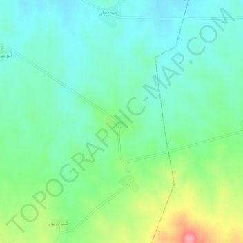
Name: Abyan topographic map, elevation, terrain.
Location: Abyan, ناحية صبورة, منطقة سلمية, Hama, Syrie (35.26075 37.21253 35.30075 37.25253)
Average elevation: 447 m
Minimum elevation: 415 m
Maximum elevation: 527 m
Other topographic maps
Click on a map to view its topography, its elevation and its terrain.