
Suran topographic map
Interactive map
Click on the map to display elevation.
About this map
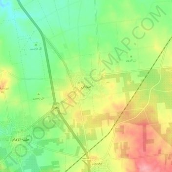
Name: Suran topographic map, elevation, terrain.
Location: Suran, ناحية صوران, منطقة حماة, Hama, Syrie (35.25062 36.70927 35.33062 36.78927)
Average elevation: 347 m
Minimum elevation: 304 m
Maximum elevation: 407 m
Other topographic maps
Click on a map to view its topography, its elevation and its terrain.