
Zuoying District topographic map
Interactive map
Click on the map to display elevation.
About this map
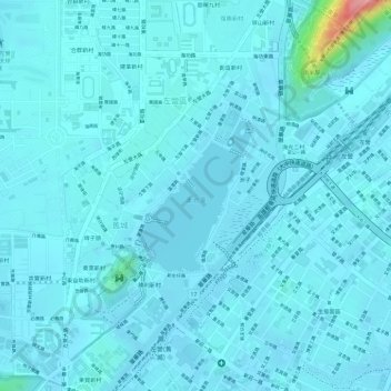
Name: Zuoying District topographic map, elevation, terrain.
Location: Zuoying District, Kaohsiung, 813, Taiwan, Lotus Pond (22.67865 120.29176 22.68906 120.30047)
Average elevation: 19 m
Minimum elevation: 6 m
Maximum elevation: 142 m
Other topographic maps
Click on a map to view its topography, its elevation and its terrain.