
Taiping Island topographic map
Interactive map
Click on the map to display elevation.
About this map
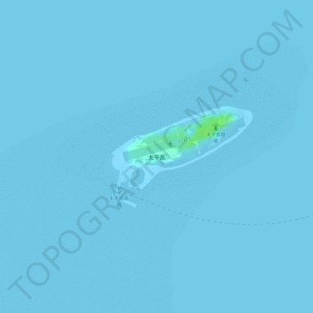
Name: Taiping Island topographic map, elevation, terrain.
Location: Taiping Island, Qijin District, Kaohsiung, 805, Taiwan (10.37132 114.35918 10.38007 114.37177)
Average elevation: 0 m
Minimum elevation: 0 m
Maximum elevation: 10 m
Other topographic maps
Click on a map to view its topography, its elevation and its terrain.