
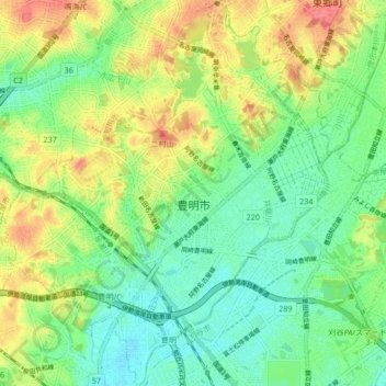
豊明市 topographic map
Interactive map
Click on the map to display elevation.
About this map
Name: 豊明市 topographic map, elevation, terrain.
Location: 豊明市, Präfektur Aichi, Chūbu, Japan (35.02704 136.97240 35.09558 137.04305)
Average elevation: 27 m
Minimum elevation: -1 m
Maximum elevation: 70 m
Other topographic maps
Click on a map to view its topography, its elevation and its terrain.