
関市 topographic map
Interactive map
Click on the map to display elevation.
About this map
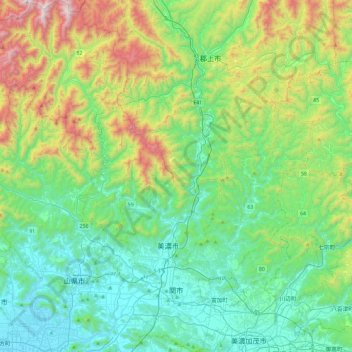
Name: 関市 topographic map, elevation, terrain.
Location: 関市, Präfektur Gifu, Japan (35.42736 136.66613 35.81061 137.10133)
Average elevation: 372 m
Minimum elevation: 10 m
Maximum elevation: 1,427 m