
Round Island topographic map
Click on the map to display elevation.
About this map
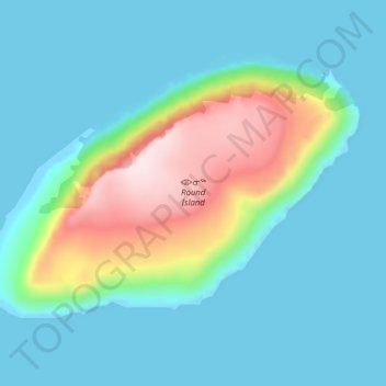
Name: Round Island topographic map, elevation, terrain.
Location: Round Island, Qikiqtaaluk Region, Nunavut, Canada (72.15000 -74.70275 72.17325 -74.58525)
Average elevation: 78 m
Minimum elevation: -5 m
Maximum elevation: 371 m
Other topographic maps
Click on a map to view its topography, its elevation and its terrain.