
Sentinel Island topographic map
Click on the map to display elevation.
About this map
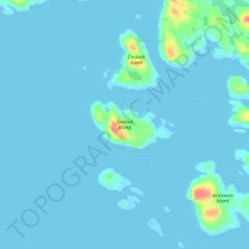
Name: Sentinel Island topographic map, elevation, terrain.
Location: Sentinel Island, Qikiqtaaluk Region, Nunavut, Canada (61.32530 -64.91323 61.33053 -64.89414)
Average elevation: 5 m
Minimum elevation: -12 m
Maximum elevation: 60 m
Other topographic maps
Click on a map to view its topography, its elevation and its terrain.