
Bir Mellouli topographic map
Interactive map
Click on the map to display elevation.
About this map
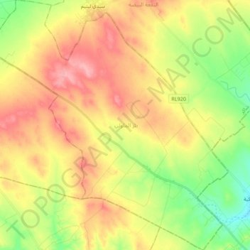
Name: Bir Mellouli topographic map, elevation, terrain.
Location: Bir Mellouli, Menzel Chaker, Sfax, Tunisie (34.81633 10.43917 34.95343 10.60154)
Average elevation: 134 m
Minimum elevation: 85 m
Maximum elevation: 182 m
Other topographic maps
Click on a map to view its topography, its elevation and its terrain.