
Mahares topographic map
Interactive map
Click on the map to display elevation.
About this map
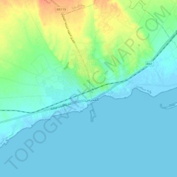
Name: Mahares topographic map, elevation, terrain.
Location: Mahares, Mahrés Sud, Marhés, Sfax, 3060, Tunisie (34.48672 10.45655 34.56672 10.53655)
Average elevation: 9 m
Minimum elevation: -3 m
Maximum elevation: 36 m