
Rutana topographic map
Interactive map
Click on the map to display elevation.
About this map
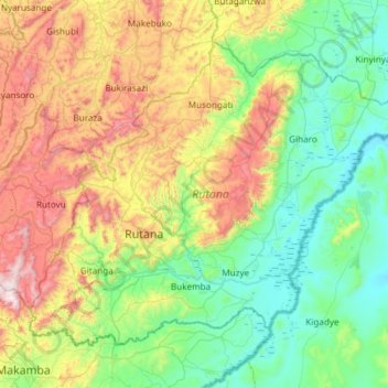
Name: Rutana topographic map, elevation, terrain.
Location: Rutana, Burundi (-4.09821 29.81409 -3.63146 30.41045)
Average elevation: 1,520 m
Minimum elevation: 1,144 m
Maximum elevation: 2,391 m
Other topographic maps
Click on a map to view its topography, its elevation and its terrain.