
Manger topographic map
Click on the map to display elevation.
About this map
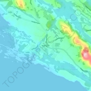
Name: Manger topographic map, elevation, terrain.
Location: Manger, Alver, Vestland, 5936, Norway (60.62128 5.02150 60.66128 5.06150)
Average elevation: 23 m
Minimum elevation: -1 m
Maximum elevation: 198 m
Other topographic maps
Click on a map to view its topography, its elevation and its terrain.