
Meepe topographic map
Interactive map
Click on the map to display elevation.
About this map
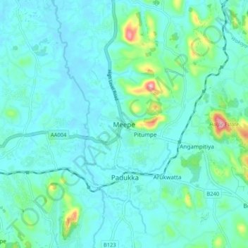
Name: Meepe topographic map, elevation, terrain.
Location: Meepe, Colombo District, Western Province, 10500, Sri Lanka (6.81866 80.05136 6.89866 80.13136)
Average elevation: 33 m
Minimum elevation: 4 m
Maximum elevation: 191 m
Other topographic maps
Click on a map to view its topography, its elevation and its terrain.