
Durandi topographic map
Interactive map
Click on the map to display elevation.
About this map
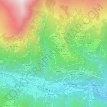
Name: Durandi topographic map, elevation, terrain.
Location: Durandi, Sampeyre, Cuneo, Piëmont, Italië (44.56918 7.17723 44.60918 7.21723)
Average elevation: 1,367 m
Minimum elevation: 843 m
Maximum elevation: 2,310 m
Other topographic maps
Click on a map to view its topography, its elevation and its terrain.