
Ponte topographic map
Interactive map
Click on the map to display elevation.
About this map
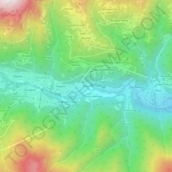
Name: Ponte topographic map, elevation, terrain.
Location: Ponte, Sampeyre, Cuneo, Piëmont, Italië (44.55764 7.18333 44.59764 7.22333)
Average elevation: 1,216 m
Minimum elevation: 826 m
Maximum elevation: 1,964 m
Other topographic maps
Click on a map to view its topography, its elevation and its terrain.