
Confine Superiore topographic map
Interactive map
Click on the map to display elevation.
About this map
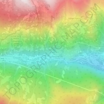
Name: Confine Superiore topographic map, elevation, terrain.
Location: Confine Superiore, Sampeyre, Cuneo, Piëmont, Italië (44.56525 7.10715 44.60525 7.14715)
Average elevation: 1,555 m
Minimum elevation: 1,024 m
Maximum elevation: 2,279 m
Other topographic maps
Click on a map to view its topography, its elevation and its terrain.