
Thank you for supporting this site ❤️
Make a donation
Make a donation
Sherman County topographic map
Click on the map to display elevation.
Thank you for supporting this site ❤️
Make a donation
Make a donation
About this map
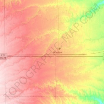
Name: Sherman County topographic map, elevation, terrain.
Location: Sherman County, Kansas, United States (39.13303 -102.04976 39.56857 -101.39016)
Average elevation: 1,119 m
Minimum elevation: 981 m
Maximum elevation: 1,231 m
Thank you for supporting this site ❤️
Make a donation
Make a donation
Other topographic maps
Click on a map to view its topography, its elevation and its terrain.