
Thank you for supporting this site ❤️
Make a donation
Make a donation
Millerton topographic map
Click on the map to display elevation.
Thank you for supporting this site ❤️
Make a donation
Make a donation
About this map
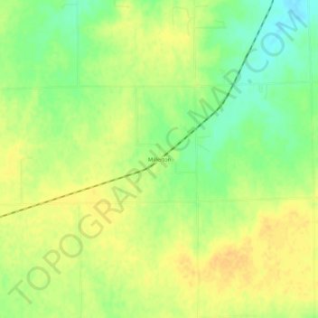
Name: Millerton topographic map, elevation, terrain.
Location: Millerton, Sumner County, Kansas, United States (37.41669 -97.57644 37.45669 -97.53644)
Average elevation: 411 m
Minimum elevation: 394 m
Maximum elevation: 422 m
Thank you for supporting this site ❤️
Make a donation
Make a donation