
Thank you for supporting this site ❤️
Make a donation
Make a donation
Watson topographic map
Click on the map to display elevation.
Thank you for supporting this site ❤️
Make a donation
Make a donation
About this map
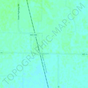
Name: Watson topographic map, elevation, terrain.
Location: Watson, Atchison County, Missouri, United States (40.47642 -95.62582 40.48331 -95.62052)
Average elevation: 275 m
Minimum elevation: 272 m
Maximum elevation: 278 m
Thank you for supporting this site ❤️
Make a donation
Make a donation
Other topographic maps
Click on a map to view its topography, its elevation and its terrain.