
Thank you for supporting this site ❤️
Make a donation
Make a donation
Langdon topographic map
Click on the map to display elevation.
Thank you for supporting this site ❤️
Make a donation
Make a donation
About this map
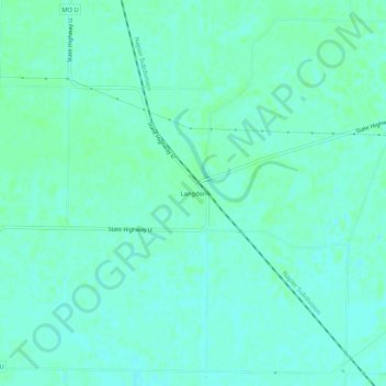
Name: Langdon topographic map, elevation, terrain.
Location: Langdon, Atchison County, Missouri, United States (40.33639 -95.59971 40.37639 -95.55971)
Average elevation: 271 m
Minimum elevation: 267 m
Maximum elevation: 274 m
Thank you for supporting this site ❤️
Make a donation
Make a donation
Other topographic maps
Click on a map to view its topography, its elevation and its terrain.