
Nordfjordeid topographic map
Interactive map
Click on the map to display elevation.
About this map
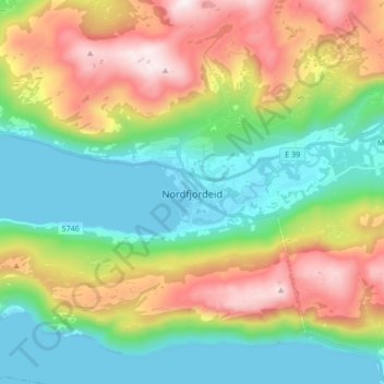
Name: Nordfjordeid topographic map, elevation, terrain.
Location: Nordfjordeid, Stad, Vestland, 6770, Norway (61.86768 5.94914 61.94768 6.02914)
Average elevation: 322 m
Minimum elevation: -6 m
Maximum elevation: 907 m
Other topographic maps
Click on a map to view its topography, its elevation and its terrain.