
Thank you for supporting this site ❤️
Make a donation
Make a donation
High Point topographic map
Click on the map to display elevation.
Thank you for supporting this site ❤️
Make a donation
Make a donation
About this map
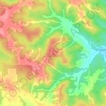
Name: High Point topographic map, elevation, terrain.
Location: High Point, Miller County, Missouri, United States (38.19999 -92.35551 38.20009 -92.35541)
Average elevation: 252 m
Minimum elevation: 203 m
Maximum elevation: 291 m
Thank you for supporting this site ❤️
Make a donation
Make a donation
Other topographic maps
Click on a map to view its topography, its elevation and its terrain.