
Marie Lake topographic map
Interactive map
Click on the map to display elevation.
About this map
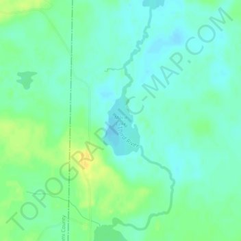
Name: Marie Lake topographic map, elevation, terrain.
Location: Marie Lake, Itasca County, Minnesota, United States (47.61495 -94.41417 47.62284 -94.40801)
Average elevation: 407 m
Minimum elevation: 399 m
Maximum elevation: 422 m
Other topographic maps
Click on a map to view its topography, its elevation and its terrain.
Grand Rapids
United States > Minnesota > Itasca County
Grand Rapids, Itasca County, Minnesota, 55744, United States
Average elevation: 398 m
Calumet
United States > Minnesota > Itasca County
Calumet, Itasca County, Minnesota, 55716, United States
Average elevation: 421 m
La Prairie
United States > Minnesota > Itasca County
La Prairie, Itasca County, Minnesota, United States
Average elevation: 393 m