
Makumbura topographic map
Interactive map
Click on the map to display elevation.
About this map
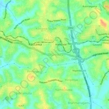
Name: Makumbura topographic map, elevation, terrain.
Location: Makumbura, Colombo District, Western Province, 10230, Sri Lanka (6.81923 79.95269 6.85923 79.99269)
Average elevation: 25 m
Minimum elevation: 7 m
Maximum elevation: 50 m
Other topographic maps
Click on a map to view its topography, its elevation and its terrain.