
Gash-Barka topographic map
Interactive map
Click on the map to display elevation.
About this map
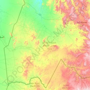
Name: Gash-Barka topographic map, elevation, terrain.
Location: Gash-Barka, Érythrée (14.18095 36.43337 16.29863 38.76234)
Average elevation: 914 m
Minimum elevation: 355 m
Maximum elevation: 2,451 m
Other topographic maps
Click on a map to view its topography, its elevation and its terrain.